Engage Students in Geography with Technology!
Use these examples of projects created by students to inspire technology integration in your geography program.
Whether you have Chromebooks, iPads, PCs, or Macs in your classroom, you can use technology to help your students build powerful geography skills.
Start with a Template
If your students are new to technology, have them begin by completing a map or other template.
 How-to Get Students Started with Templates
Construct Maps, graphs, and other representations (C3.D2.Geo1)
Have students create maps to show the geographic features, regions, and economy of a state or region.
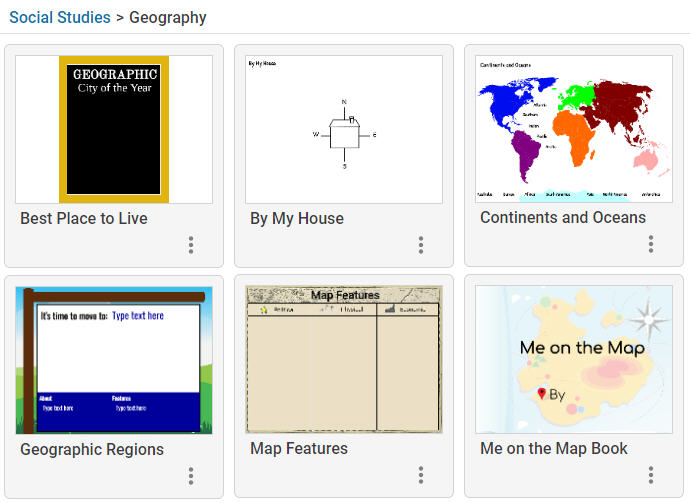
Me on the Map
Read Me on the Map by Joan Sweeney to model your expectations for student work. Students can then use this book template to learn where they are located in relation to their town, state, country, and world.
Cultural and environmental characteristics
Have students write postcards from different geographic locations, describing the cultural and environmental characteristics as well as how these affect life there.
Give students choice
Use this choice board to put students in charge of how they will demonstrate their learning.
More ways teachers are using Wixie
-
Busy Bee Map Makers
The Busy Bees loved creating maps on @Wixie_T4L. They were challenged to include a title, compass rose, and map key! pic.twitter.com/OmRUZD1I9m
— Laura Bouamri (@BouamriBusyBees) September 28, 2024 -
State Report Projects
5th Graders publish their final state research projects in #Wixie Check out these facts! @carolynkdaly @PWCS_HSS @TreadwellMrs @ColesRoadrunner pic.twitter.com/LKXXJadMlZ
— Mrs. Martin (@ITCColes) June 2, 2022 -
Mapping
Mapping @BaileysES_FCPS using Wixie! ?????? #WeAreBaileys pic.twitter.com/6FE72RIMf7
— Shireen Kelly (@shireen_kelly) May 5, 2022 -
Travel Books
Another successful day of researching, citing our sources, and creating our travel books on wixie! Thanks Mrs. Swartz for your technology support today! #TheNokesvilleSchool #researchproject #wixie pic.twitter.com/VKuYuoxhKf
— Meghann Ruleman (@Ruleman5th) March 17, 2022 -
Digital Landform Books
These wonderful #Wixie experts used their #communication skills to teach their first grade classmates how to use this wonderful tool to #create a digital Virginia Landforms book. @MrsMcIntosh_MRE @MillRunLCPS #mres22 #LCPS5CS pic.twitter.com/8WHNWwhAed
— Tara VanPatten (@MrsVP_IFT) March 31, 2022 -
Community Maps
Students loved using their geography skills to create their own maps using Wixie! #SpottedatLOW pic.twitter.com/8e6t0mgySb
— Cheyenne Anderson (@MrsAndersonLCPS) December 1, 2018 -
Continent Tours
3rd graders use Wixie to persuade viewers to visit the continent they studied. pic.twitter.com/gRIRImVtH6
— Jessica Summer (@TerraceTech) December 8, 2017 -
Country Projects
4th graders at @WindyHillElem are working hard on their country projects. This week, they are finishing their research and graphic organizers and getting ready to make their final video presentations. Excited for our around-the-world viewing party! @Tech4Learning #Wixie pic.twitter.com/fJrhqOoq8l
— Windy Hill Elementary Library (@WHESmedia) March 8, 2019 -
Me on the Map
Geography skills review - 3rd graders use Wixie to create their own version of "me on the map" based on Joan Sweeney's book @ScottLoomis @Tech4Learning @DianeHarazin @ColesRoadrunner pic.twitter.com/9PGzldIPQB
— Mrs. Martin (@ITCColes) October 24, 2018 -
Online Community Maps
1st graders helping each other create maps representing their online communities using Wixie in Technology! #LTESLions #FCPSDigCit @Tech4Learning pic.twitter.com/S6knlwdon7
— London Towne ES FCPS (@LondonTowneFCPS) October 25, 2018 -
Classroom Maps
Log-in helpers during reading groups. Today we are making maps of our classroom using Wixie! @ShadySideAACPS pic.twitter.com/cuLvEl8QXn
— Ms. Connolly (@MsConnolly1st) November 7, 2018 -
Map Features
Ss create maps that includes a legend and compass rose in @Tech4Learning Wixie and upload to @Seesaw @LRFSchool142 @ForestRidge142 @ms_dambrosio125 pic.twitter.com/HV1JHcbCfK
— Noelle Horbaczewski (@nhorbaczewski1) May 7, 2018